File:Israel road sign 601a.svg
Jump to navigation
Jump to search

Size of this PNG preview of this SVG file: 379 × 598 pixels. Other resolutions: 152 × 240 pixels | 304 × 480 pixels | 486 × 768 pixels | 648 × 1,024 pixels | 1,297 × 2,048 pixels | 449 × 709 pixels.
Original file (SVG file, nominally 449 × 709 pixels, file size: 22 KB)
Summary
| Description |
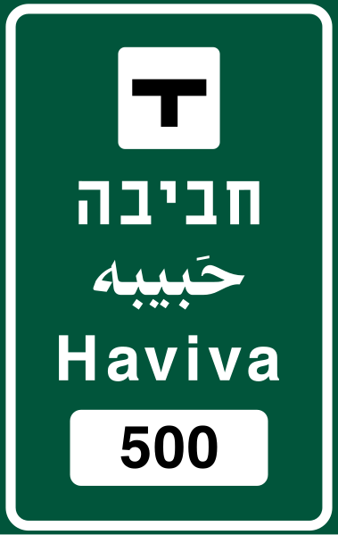
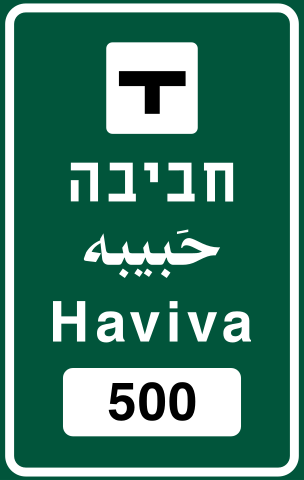
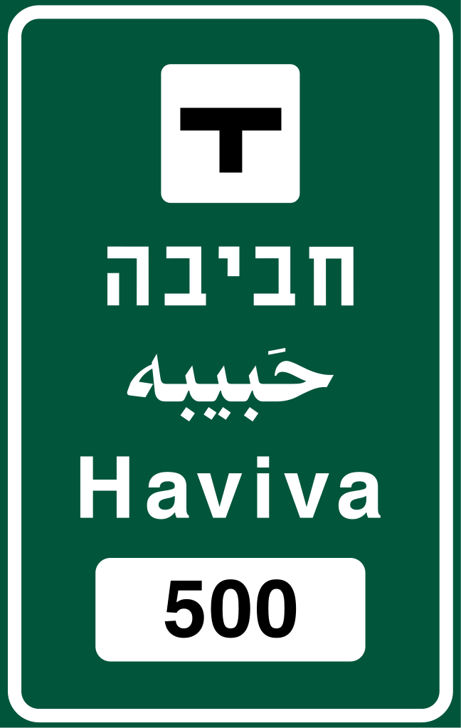
עברית: שם המחלף או הצומת: בדרך מהירה – באותיות לבנות על רקע כחול, בדרך אחרת – באותיות לבנות על רקע ירוק. המספר בתמרור 630 מציין את המרחק במטרים . |
|||
| Date | ||||
| Source | Ministry of Transport, National Infrastructure and Road Safety | |||
| Author | Government of Israel | |||
| Permission (Reusing this file) |
|

File history
Click on a date/time to view the file as it appeared at that time.
| Date/Time | Thumbnail | Dimensions | User | Comment | |
|---|---|---|---|---|---|
| current | 17:43, 5 May 2022 | | 449 × 709 (22 KB) | wikimediacommons>มองโกเลีย๔๔ | Uploaded own work with UploadWizard |
File usage
The following page uses this file: