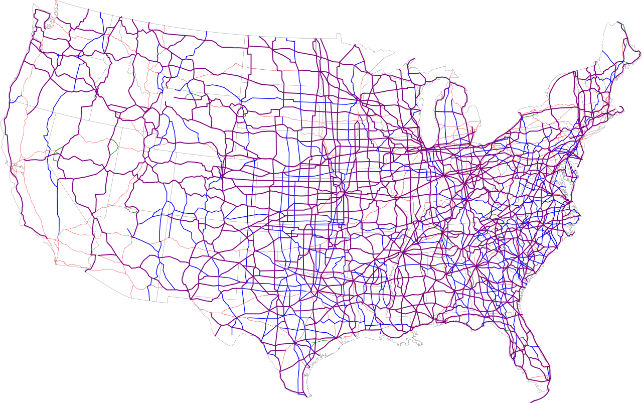
File:Map of current US Routes.svg
Jump to navigation
Jump to search


Size of this PNG preview of this SVG file: 689 × 432 pixels. Other resolutions: 320 × 201 pixels | 640 × 401 pixels | 1,024 × 642 pixels | 1,280 × 803 pixels | 2,560 × 1,605 pixels.
Original file (SVG file, nominally 689 × 432 pixels, file size: 943 KB)
Summary

|
This file has been superseded by Map of current U.S. Routes.svg. It is recommended to use the other file. Please note that deleting superseded images requires consent. Reason to use the other file: "Updated with newer data"
|

|
| Description |
|
|
| Date | 13 July 2006 (upload date) | |
| Source | Own work / Base map is http://www.nationalatlas.gov/printable/images/pdf/reference/genref.pdf | |
| Author | SPUI |
Licensing
| This work has been released into the public domain by its author, SPUI. This applies worldwide. In some countries this may not be legally possible; if so: |
File history
Click on a date/time to view the file as it appeared at that time.
| Date/Time | Thumbnail | Dimensions | User | Comment | |
|---|---|---|---|---|---|
| current | 00:38, 14 July 2006 | | 689 × 432 (943 KB) | wikimediacommons>SPUI~commonswiki | missed the east part of 412 |
File usage
The following page uses this file: